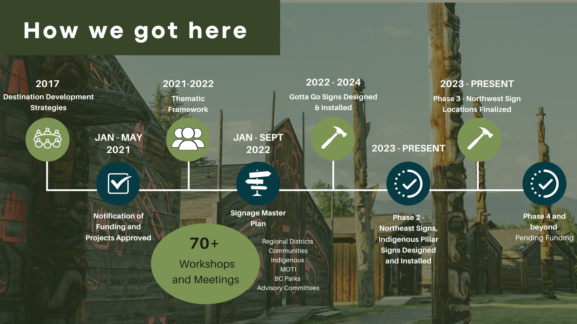
In early 2021, Northern BC Tourism Association received $2.3 million through the Province's Stronger BC Economic Recovery Program, Targeted Regional Tourism Development Initiative (TRTDI), to invest in 13 regional tourism development initiatives. The Great Northern Circle Route (GNCR) Signage Program was one of the 13 initiatives funded under a multi-phase structure to enhance visitor experiences through interpretive signage across the Northern BC region. The success of this initiative wouldn't have been possible without the initial seed-funding from TRTDI and further support from funders and partners at all levels of government. The program also involves close collaboration with Indigenous communities to ensure culturally respectful content and land acknowledgements, if appropriate, are presented on the sign panels. Scroll down to learn more about this exciting initiative, the partners involved, and how your community can be a part of this program!
Through the GNCR Signage Program, NBCTA is working with partners from across the Northern BC region to develop and install almost $1-million of interpretive signage infrastructure. You can use this interactive map to explore where signs have been installed, read the stories on their panels, and see sites of possible future signage. The map also displays the corridors, regions and sub-regions which were identified through the Thematic Framework.


The GNCR Signage Program is structured in four phases. Phases 1–3 are fully funded and include signage that is designed, finalized, and being installed. Phase 4 is partially developed, and NBCTA is actively seeking funding to support its completion. Future phases will expand the program across the region as additional funding and partnerships are secured. Download the PDF to learn more about the program and its future plans.
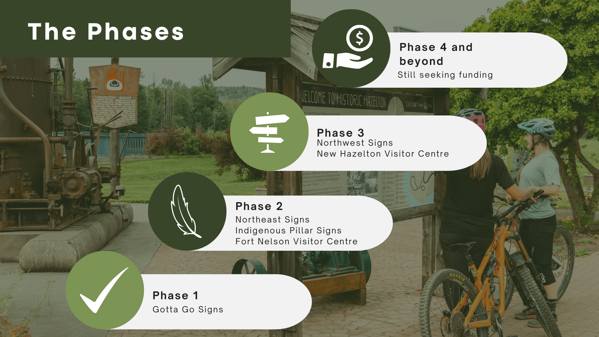
NBCTA worked with Destination BC to develop a video showcasing the Gotta Go Project in Northeastern BC, which was Phase 1 (Gotta Go) of the GNCR Signage Program.
The Gotta Go project showcases how partnership can enhance traveller experiences along the Alaska Highway. Through collaboration with First Nations and all levels of government, upgraded rest stops now feature interpretive signage, washrooms, lighting, and safety improvements—helping share the region’s stories while supporting tourism, community well-being, and sustainable economic development.
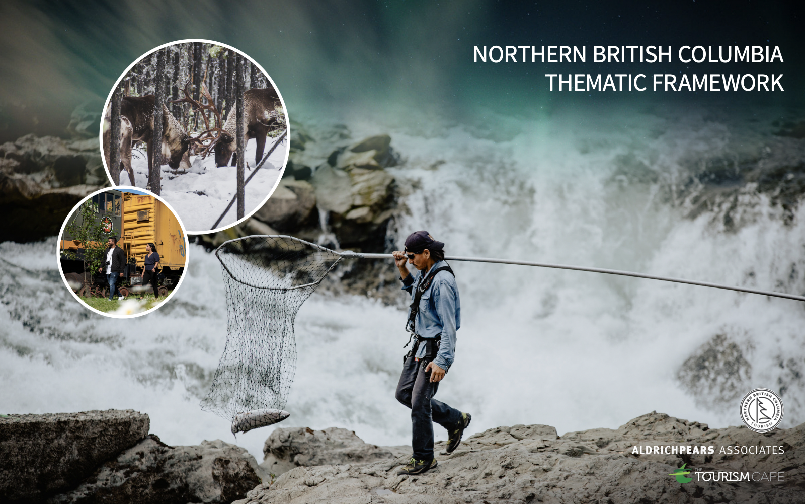
The Northern BC Thematic Framework (NBCTF) was the first step in developing the signage program. This foundational document identifies authentic, inclusive, and compelling themes to guide the development of heritage interpretation and visitor experiences across the region. The information was informed by community input through 30+ workshops, interviews, and research, the NBCTF reflects the voices and stories of Northern BC residents. This framework is flexible and will be built upon, deepened and refined over time.
NBCTA encourages the use of the NBCTF to develop consistent interpretive messaging. It is a valuable tool for tourism associations, governments, communities, Indigenous groups, businesses, planners, operators, and funders across Northern BC.
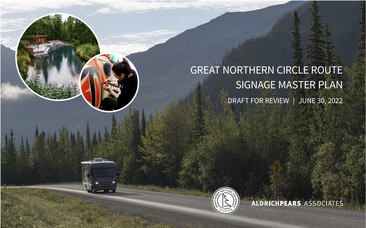
Following the identification of themes and stories, The Great Northern Circle Route Signage Master Plan (GNCR) was developed. This document outlines the design standards, sign types, and implementation plan for a comprehensive interpretive wayfinding system across Northern BC. The GNCR includes gateway, directional, trailblazing, identification, and interpretive signage to help visitors navigate the region and discover destinations along main routes, loops, and spurs.
Designed to complement existing systems (such as those from MoTI or local governments), the signage provides consistent, region-specific information. The plan can be used by regional districts, communities, attractions, trail designers, interpretation specialists, and fabricators when developing or updating signage.
The interpretive signage program has been made possible through funding and in-kind support from multiple partners. Extensive engagement and consultation with Indigenous Nations, communities, and regional partners— involving numerous meetings to engage, review, and guide the content for the signs—has been essential to ensure the signage reflects local perspectives and accurately represents the places and stories of the community and surrounding area.
Whether you're looking to learn more or exploring opportunities to bring signage to your community, we want to hear from you. Our team is available to discuss how the program can be integrated locally and is available to deliver presentations to communities and regional districts interested in future interpretive signage projects.
"*" indicates required fields
Our summit will bring together industry experts, travel enthusiasts, and local businesses to discuss the latest trends, strategies, and opportunities in Northern BC's tourism sector.
Expect engaging discussions, insightful keynote speakers, and interactive workshops that will equip you with valuable knowledge and insights. Connect with like-minded individuals, forge new partnerships, and gain inspiration to take the tourism sector to the next level in the region.